A warehouse expansion off Slover Avenue hit a snag last year: the preliminary boreholes showed consistent sand, but the cut slopes kept seeping water from a perched layer. The grading contractor called us to figure out where the water was coming from. We ran three VES lines across the pad. The resistivity profiles mapped a discontinuous clay lens at 14 feet that nobody had sampled. That lens was holding water from the old citrus irrigation days. In Fontana, the alluvial stratigraphy from the San Gabriel and San Bernardino Mountains can be surprisingly complex, and test pits alone do not always catch these lateral changes. Electrical resistivity fills that gap by giving you a continuous cross-section of subsurface conductivity without the need for twenty extra boreholes.
A VES sounding gives you a 1D resistivity log at a fraction of the cost of a deep borehole, but it requires local calibration to be reliable.
Local geotechnical context
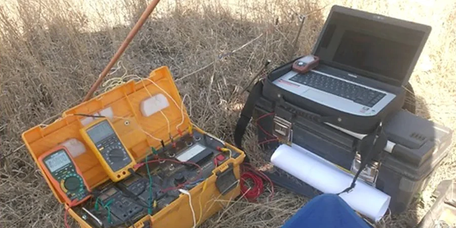
We have seen resistivity surveys in the Inland Empire misread because nobody accounted for the cultural noise. The high-voltage transmission lines running through northern Fontana, the buried pipelines along the 10 Freeway, and even the reinforced concrete of warehouse slabs can couple with the array and distort the apparent resistivity values. If you do not run reciprocal measurements and stack readings, your inversion model will show a fictitious low-resistivity layer that looks like contaminated groundwater. The other common pitfall is equivalence: a thin, highly conductive clay layer can produce the same VES curve as a thicker, moderately conductive silt. Without a borehole or CPT log to constrain the interpretation, you can easily misjudge depth to bedrock by 20 feet. We always tie at least one calibration point to a direct observation before finalizing the geoelectric sections.
Quick answers
What depth can a VES survey reach in Fontana's alluvial soils?
With a maximum AB/2 spacing of 600 feet, we typically achieve an investigation depth of 200 to 300 feet in the unconsolidated alluvial deposits of the Fontana area. The actual depth of penetration depends on the resistivity contrast between layers. In clean, dry gravels above the water table, current penetration is excellent. In saturated, clay-rich intervals with resistivities below 20 ohm-m, the signal attenuates faster and maximum depth may be reduced.
How do you calibrate resistivity data in Fontana?
We tie every resistivity profile to at least one direct measurement: a borehole log, a CPT sounding, or a test pit. This calibration point lets us assign real resistivity ranges to known soil types at the site. Without it, a 15 ohm-m anomaly could be interpreted as saline groundwater, a clay bed, or metal debris. The calibration eliminates the equivalence ambiguity and anchors the inversion model to physical reality.
Can electrical resistivity locate the San Jacinto Fault trace on my property?
Yes, this is a common application in Fontana and surrounding cities. The fault juxtaposes materials with different resistivity signatures — typically older, cemented alluvium against younger, unconsolidated deposits. A 2D resistivity line perpendicular to the suspected fault strike can image the offset and dip of the contact. We recommend combining resistivity with a MASW survey to confirm the shear-wave velocity contrast across the fault for seismic design purposes.
What is the typical cost of a resistivity survey in Fontana?